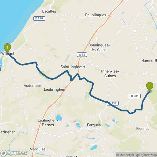
GR®145 Francigena - Etape Wisant à Guines
Durée
3h 50
3h 50
Distance
18 km
18 km
Dénivelé
positif
+
332 m
332 m
Dénivelé
négatif
-
-296 m
-296 m
Wisant
 - Attribution-NonCommercial-ShareAlike License")
 - Attribution-NonCommercial-NoDerivs License")
4.0
km
Mont-de-Couple
 - Attribution-ShareAlike License")
3.0
km
Hauteville
 - Attribution-ShareAlike License")
6.0
km
Landrethun-le-Nord
2.0
km
Caffiers
3.0
km